Stanislav POPELKA
The use of computer-generated perspective views often named 3D maps, is growing. These terrain visualizations should be more understandable for users without cartographic education, which are not familiar with contour lines.
Perspective perception of a generalized and symbolized geographic space offers often a better understanding of spatial coherences. 3D maps could be seen as a supporting complement of classic orthogonal maps.
Many inexperienced map users have trouble reading 2D topographic maps that typically depict landscape features with contour lines, shaded relief and height points. To help these users, cartographers have increasingly turned to 3D perspective maps, which allow users to more easily visualize three-dimensional landscapes.
Several studies focused on finding user preferences of different visualization of terrain were done so far. Most of them used questionnaires as the main evaluation tool. However, several other approaches of research on user perception and evaluation of the applicability and effectiveness of maps exist. Among methods of so-called usability studies, eye-tracking belongs.
PhD Thesis focused on the evaluation of 3D visualization using eye-tracking
EXPERIMENTS
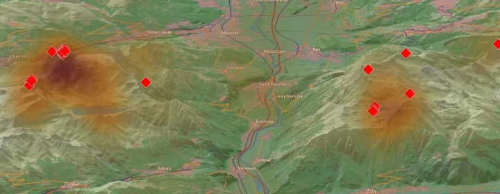
3D terrain visualization – Single map
3D terrain visualization – Dual map
3D Visualization of Extinct Village
SELECTED PUBLICATIONS
Beran, D., Jedlička, K., Kumar, K., Popelka, S., & Stoter, J. (2021). The Third Dimension in Noise Visualization–a Design of New Methods for Continuous Phenomenon Visualization. The Cartographic Journal, 1-17.
Dolezalova, J., & Popelka, S. (2016). Evaluation of the user strategy on 2D and 3D city maps based on novel scanpath comparison method and graph visualization. Int. Arch. Photogramm. Remote Sens. Spatial Inf. Sci., XLI-B2, 637-640. doi:10.5194/isprs-archives-XLI-B2-637-2016
Popelka, S., Dedkova, P.(2014): Extinct Village 3D Visualization and its Evaluation with Eye-Movement Recording. ICCSA 2014 – Lecture Notes in Computer Science Volume 8579 Springer International Publishing, 10p.978-3-319-09143-3
Popelka, S. (2014). The role of hill-shading in tourist maps. Paper presented at the CEUR Workshop Proceedings.
Popelka, S., & Doležalová, J. (2015). Non-photorealistic 3D Visualization in City Maps: An Eye-Tracking Study, Modern Trends in Cartography (pp. 357-367): Springer.
Popelka, S., Brychtová, A. (2013): Eye-tracking Study on Different Perception of 2D and 3D Terrain Visualization Cartographical Journal Vol. 50 No. 3 Maney Publishing, 240-246s.ISSN: 1743-2774
Popelka, S.(2014): Optimal eye fixation detection settings for cartographic purposes. SGEM 2014 Informatics, Geoinformatics and Remote Sensing Proceedings Volume I STEF92 Technology Ltd., Sofia, Bulgaria, 8s.978-619-7105-10-0
Popelka, S., Brus, J.(2013): Advanced visibility analyses and visibility evaluation using eye-tracking. Geoinformatics (GEOINFORMATICS), 2013 21st International Conference IEEE Xplore, 6p.s.2161-024X
Popelka, S., Brus, J., Dědková, P. (2013): 3D Visualization of Extinct Village and its Evaluation using Eye-tracking. Proceedings of the 12 th SEASC: Geospatial Cooperation Towards a Sustainable Future ASEAN FLAG, 6s.
Popelka, S., Dedkova, P.(2014): Extinct Village 3D Visualization and its Evaluation with Eye-Movement Recording. ICCSA 2014 – Lecture Notes in Computer Science Volume 8579 Springer International Publishing, 10p.978-3-319-09143-3
Popelka, S., Brychtová, A., Brus, J.(2012): Evaluation of user preferences during reading of 2D and 3D cartographic visualizations (Poster). Conference Proceedings SWAET 2012, The Scandinavian Workshop on Applied Eye Tracking Karolinska Instituet, Stockholm, 56s.