
Category of posts
News
-
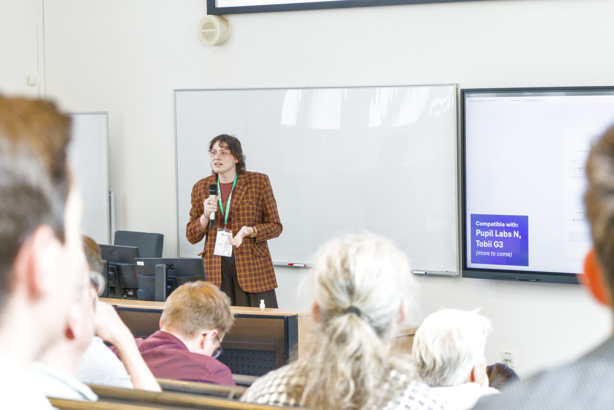
Five Talks at EuroCarto 2026 in Brno
From September 8 to 11, 2026, Brno hosted EuroCarto 2026, the European Conference on Cartography and GIS. Organized by the Czech Cartographic Society under the patronage of the…
-

Field Eye-Tracking Research Presented at ECEM 2026
From August 30 to September 3, 2026, Ulm University hosted the 23rd European Conference on Eye Movements (ECEM 2026). With a history spanning more than four decades, ECEM…
-
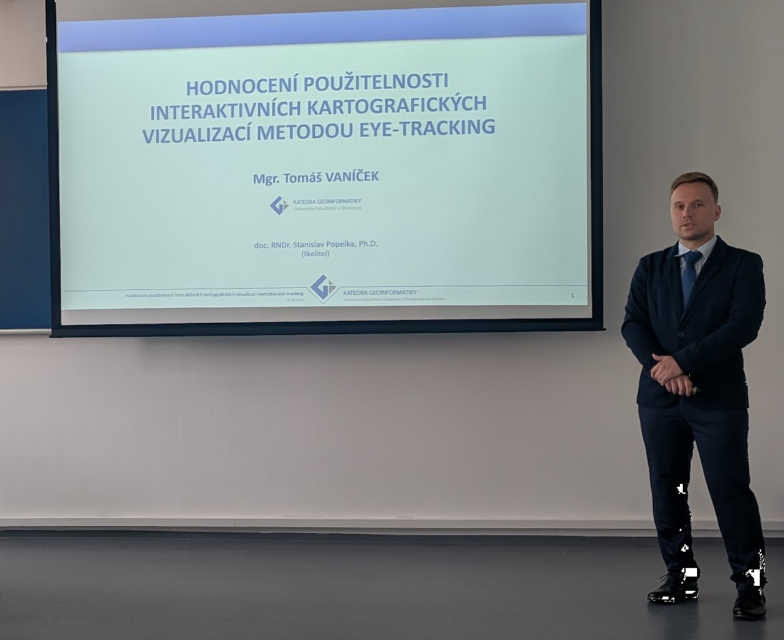
Tomáš Vaníček Successfully Completes His PhD
Today, Tomáš Vaníček successfully defended his doctoral dissertation and completed his PhD studies in Geoinformatics and Cartography at the Department of Geoinformatics, Palacký University Olomouc. His dissertation, entitled…
-
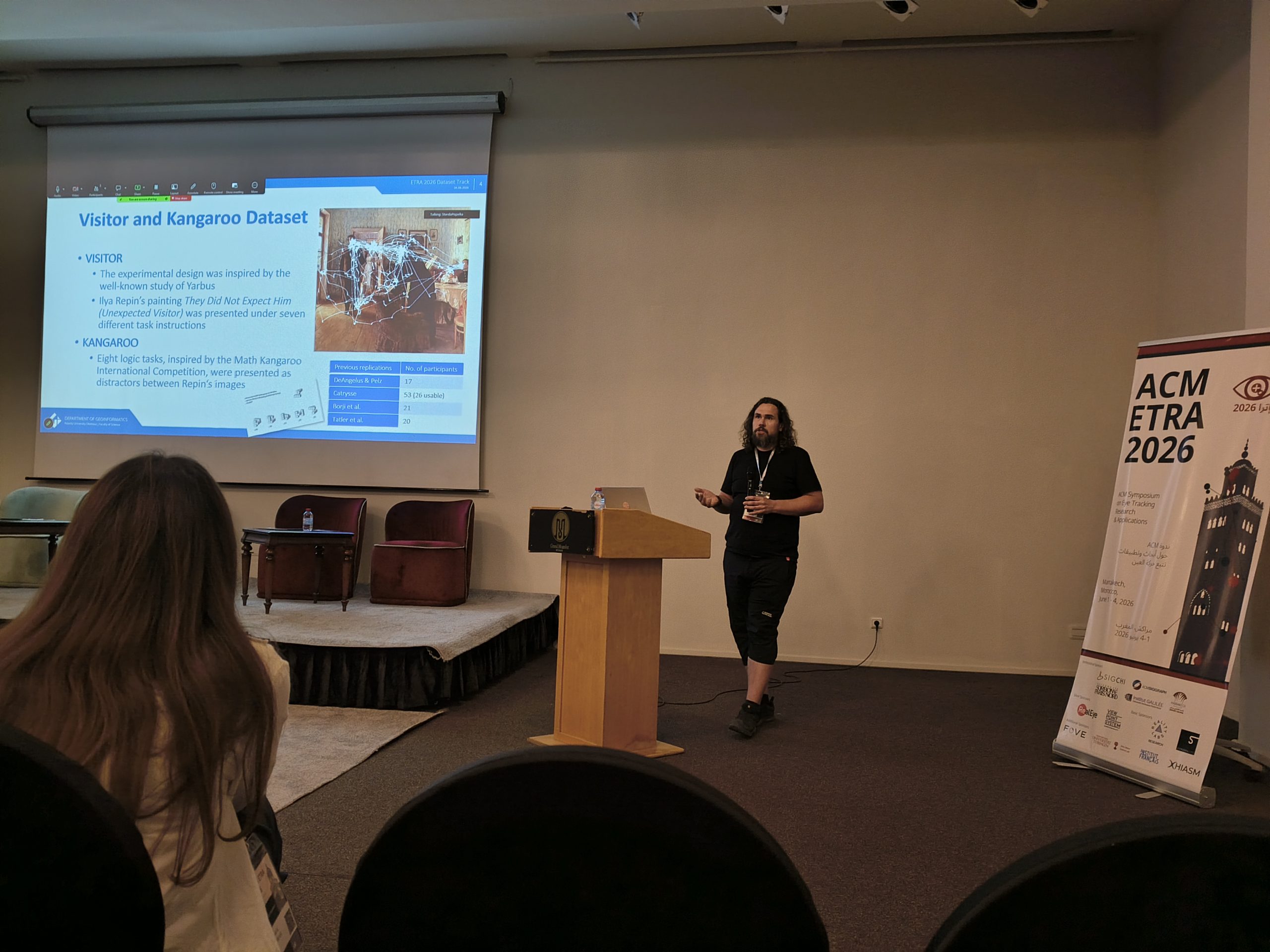
Eye-Tracking Group at ETRA 2026 in Marrakech
Members of our Eye-Tracking Group took part in the 2026 ACM Symposium on Eye Tracking Research & Applications (ETRA 2026), held in Marrakech, Morocco — the field’s principal…
-

Keynote presentation at Hradec Economic Days
Today, I had the privilege of delivering a keynote on eye-tracking at the international conference Hradec Economic Days in Hradec Králové, Czechia. It was a great pleasure to…
-
GazePlotter Published: Open-Source Scarf Plots for Eye-Tracking
Michaela Vojtěchovská and Stanislav Popelka have published GazePlotter in Behavior Research Methods, a leading journal in the field. GazePlotter is an open-source, browser-based application that generates interactive scarf…
-
Scoping Review of Eye-Tracking in Geovisualisation Usability
Our team has published a scoping review that consolidates how eye-tracking has been used to evaluate the usability of interactive geovisualisations (interactive maps). The study responds to an…
-

Evaluation of USE-IT maps
Over the past year, our laboratory, in cooperation with the Department of Applied Geoinformatics and Cartography, has had the pleasure of collaborating with USE-IT Europe on the Erasmus+…