Author:
Martin Gabrys
Contact:
m.gabrys@seznam.cz
Type of research:
Bachelor thesis
Type of stimuli:
Static images
Date:
03/2017
Shading is method of depiction of height used in a lot of maps. But it is not clear if it is really helps with vision complexity of relief for users. Main goal of bachelor´s work is determination if the shading is sufficient form of depiction height or it is only suitable complement for other method.
Methods
Procedure
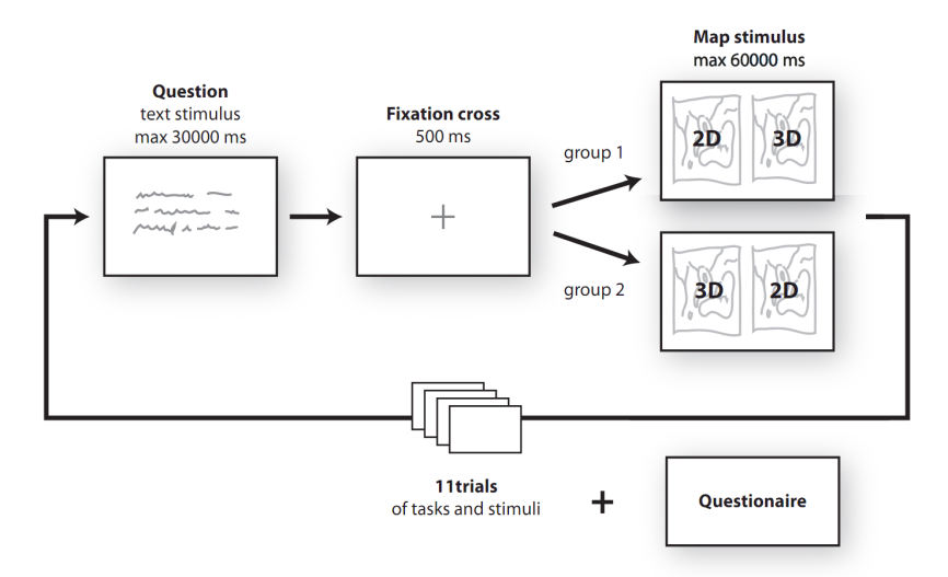
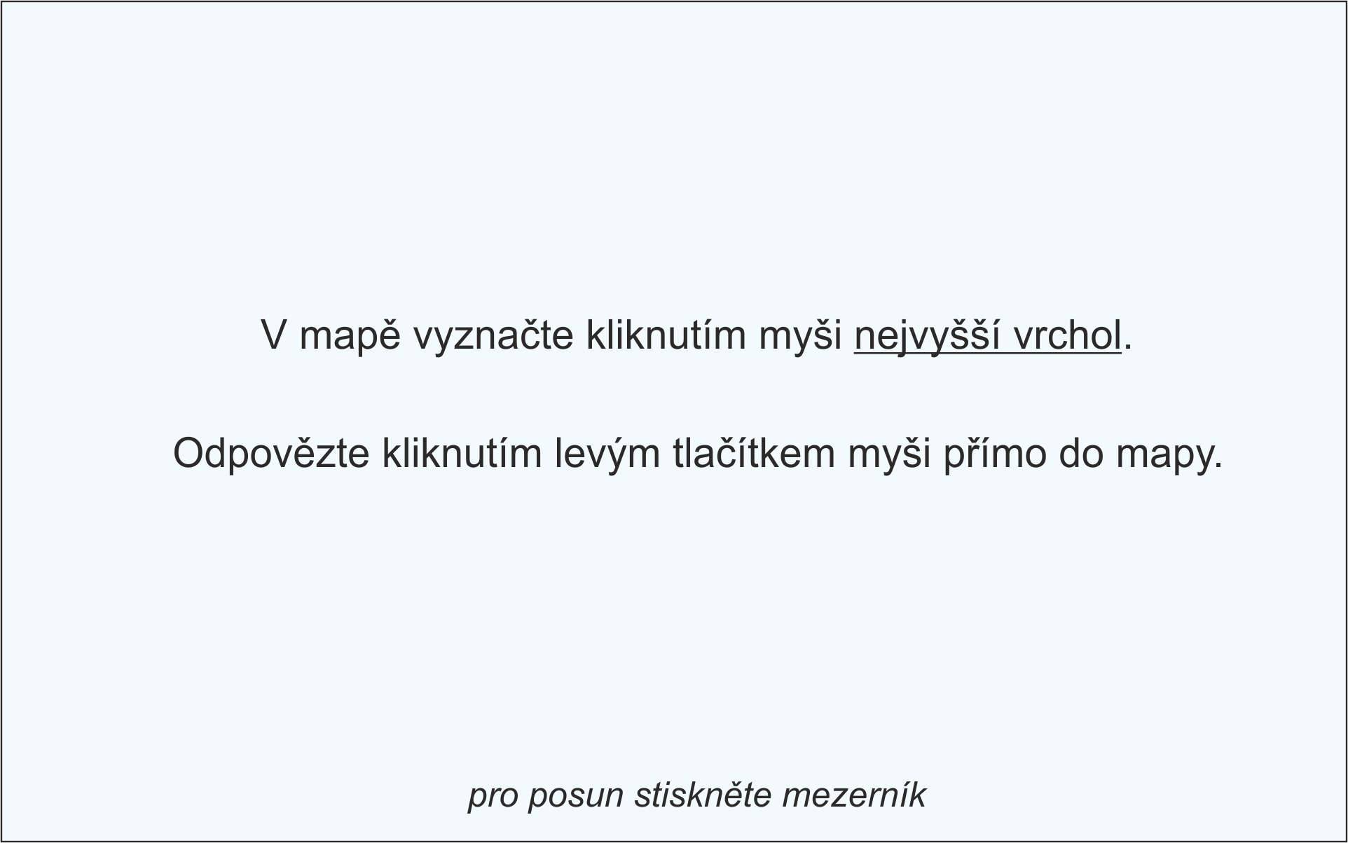
Within theoretical goals belong a detailed review of literature including other methods of visualization elevation, shading maps and rating other methods of terrain visualization. Part of the research is the analysis of available map portals including shading. Main goal of this bachelor´s work is the eye-tracking testing rating of users reading the shaded and unshaded maps. The work also includes a survey of 409 respondents. Thanks to survey preferences of users were detected. Based on survey were created stimulus for eye-tracking experiment which was attended by total of 40 respondents (Cartographers and Noncartographers).
Stimuli
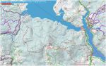
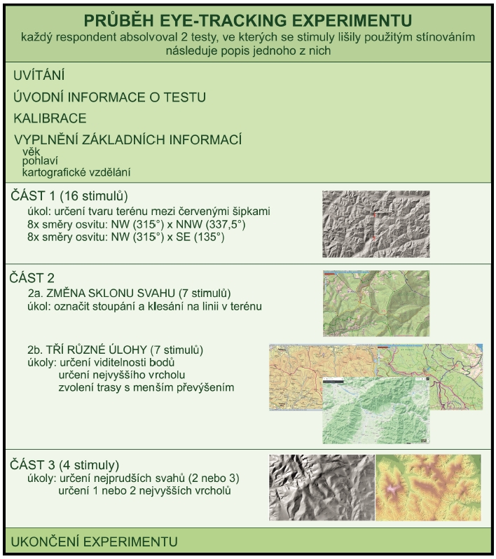
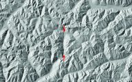
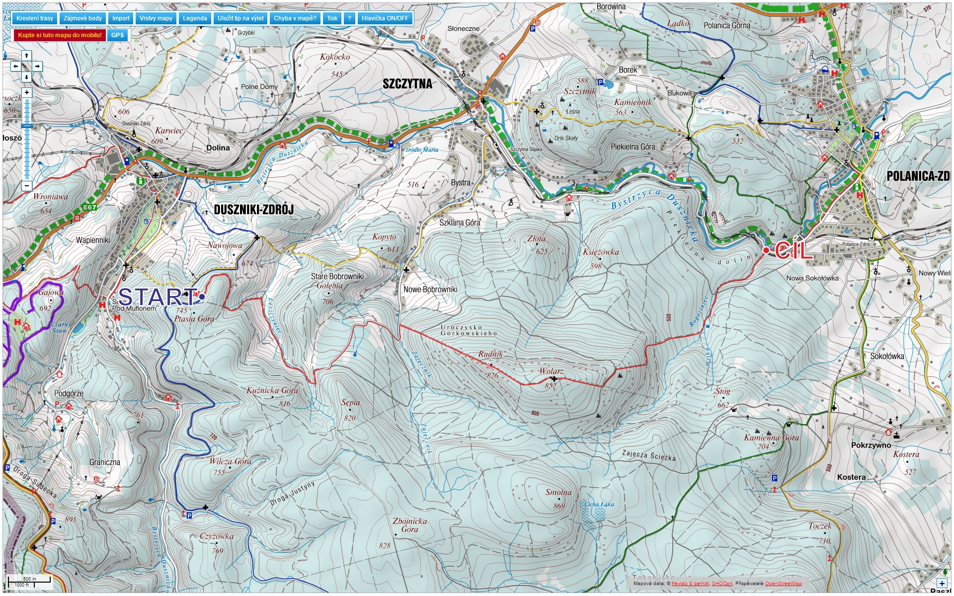
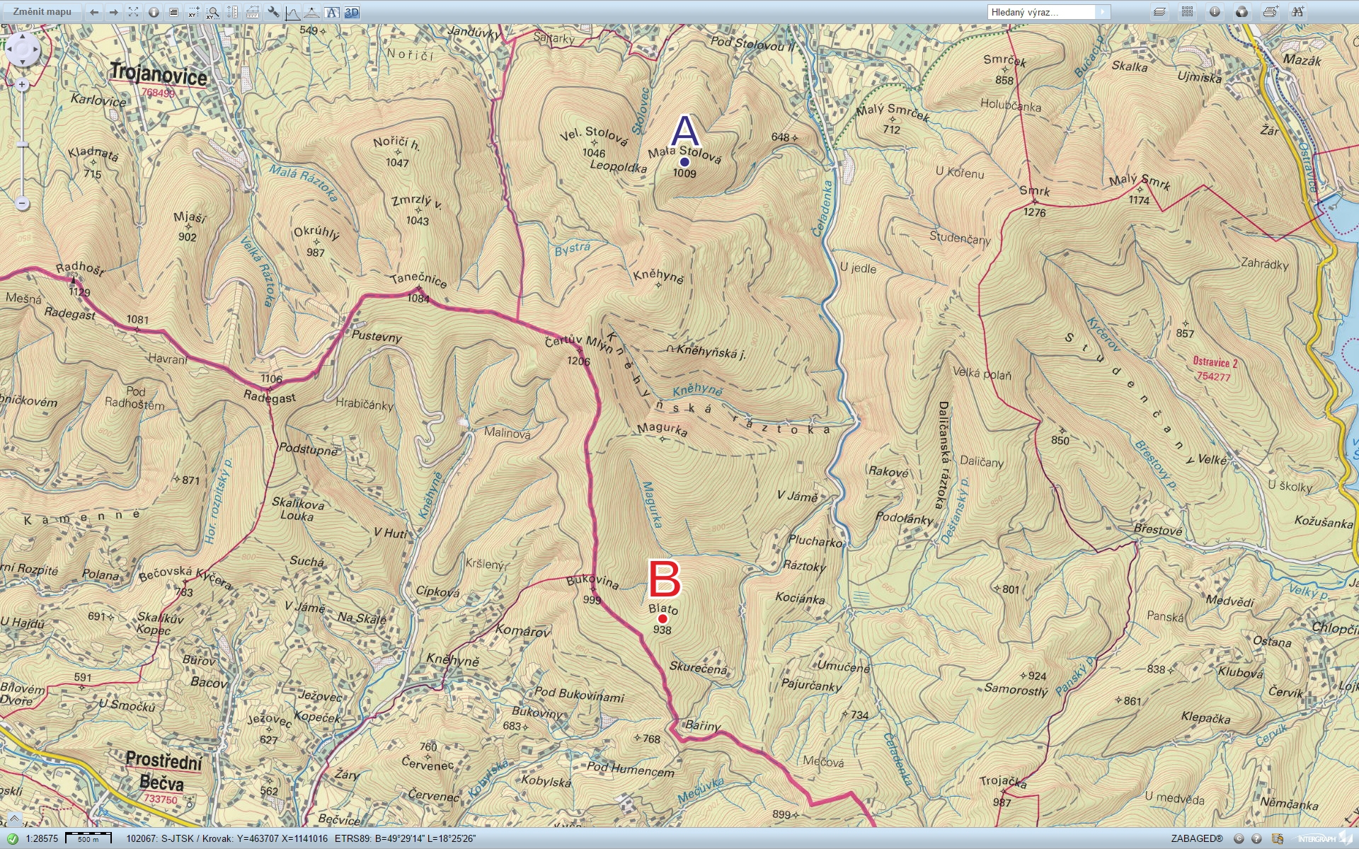
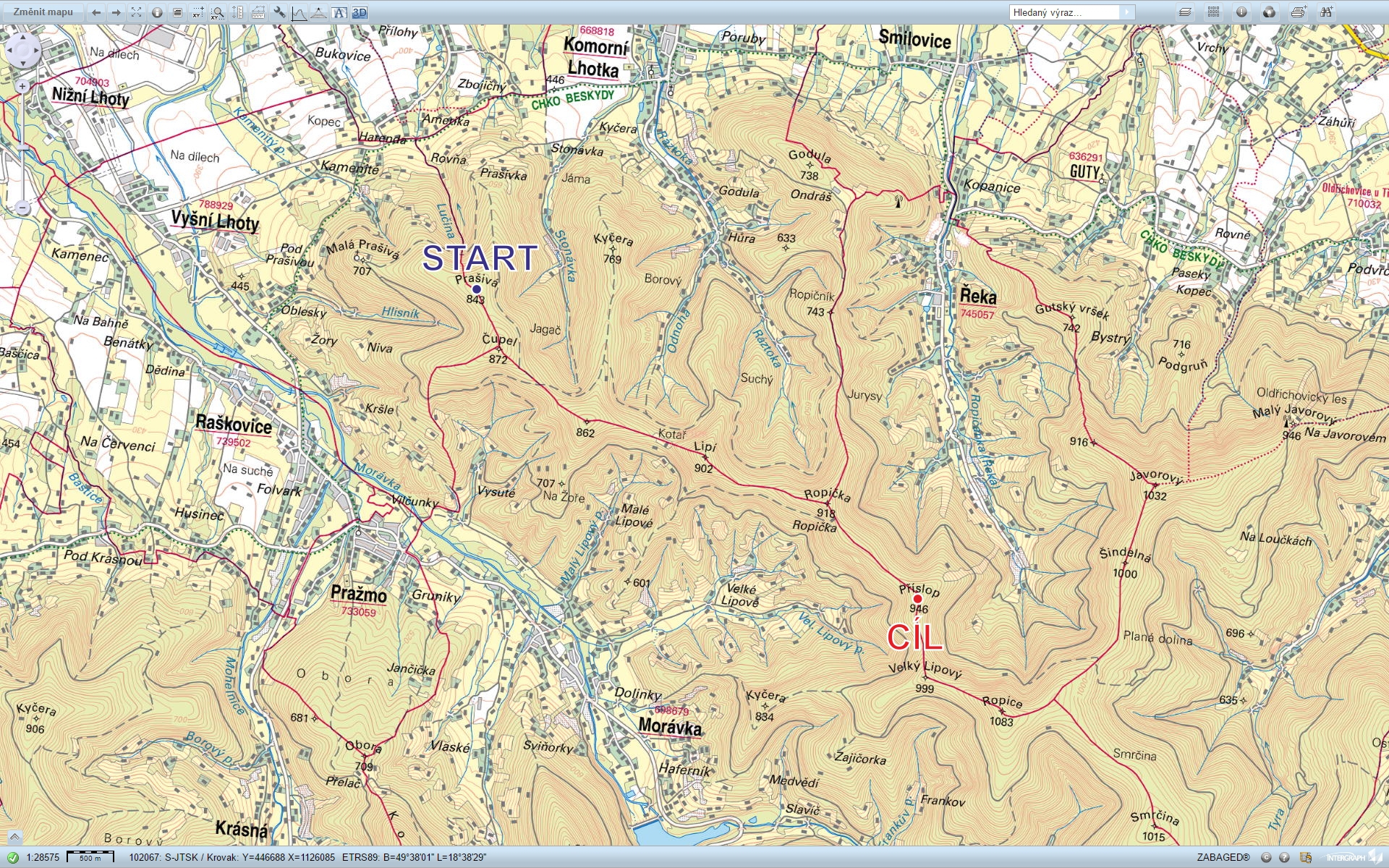
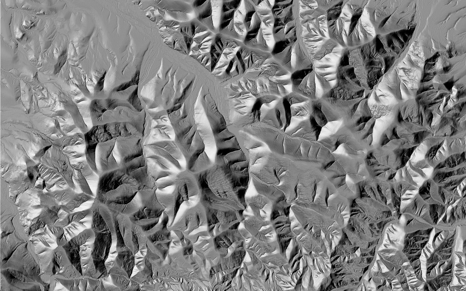
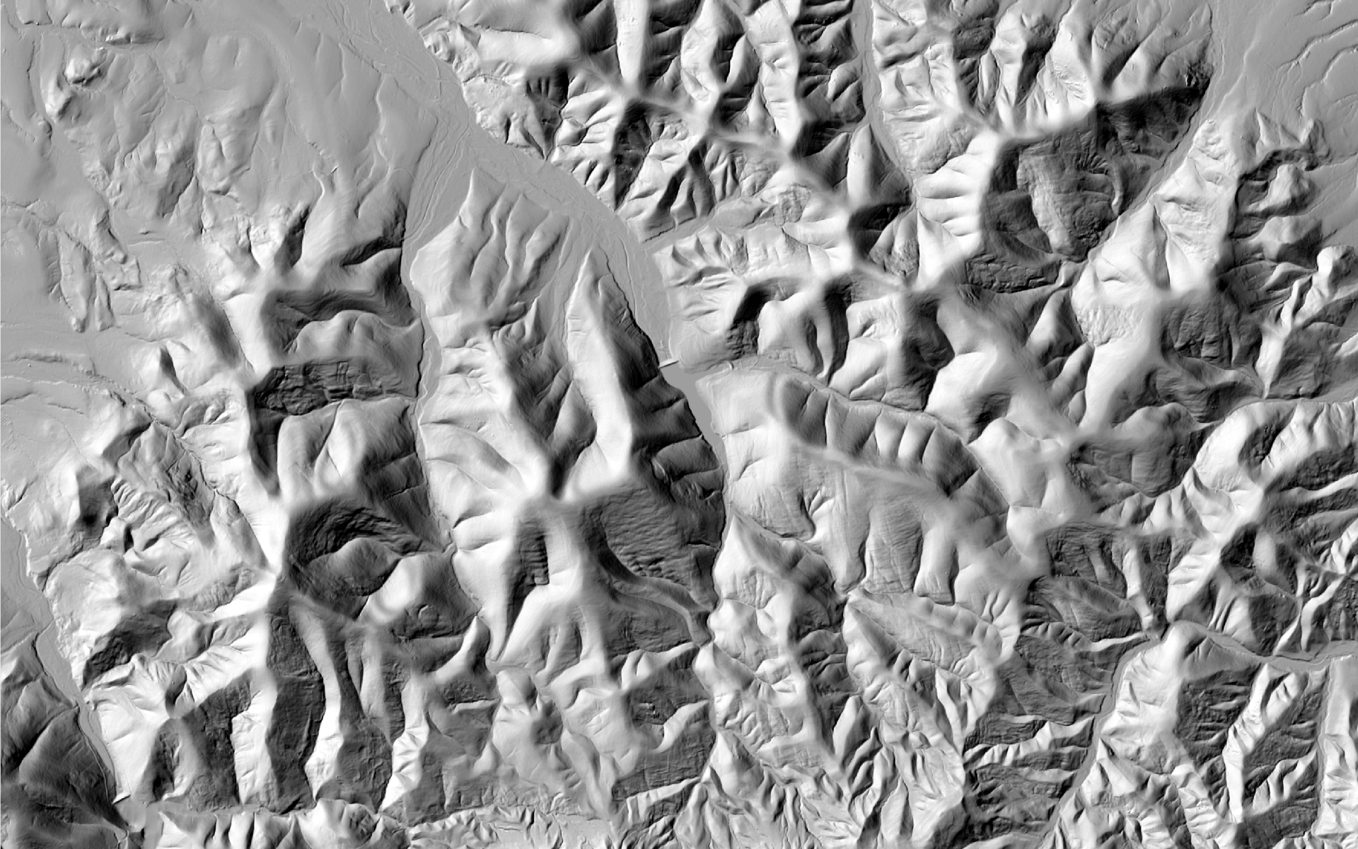
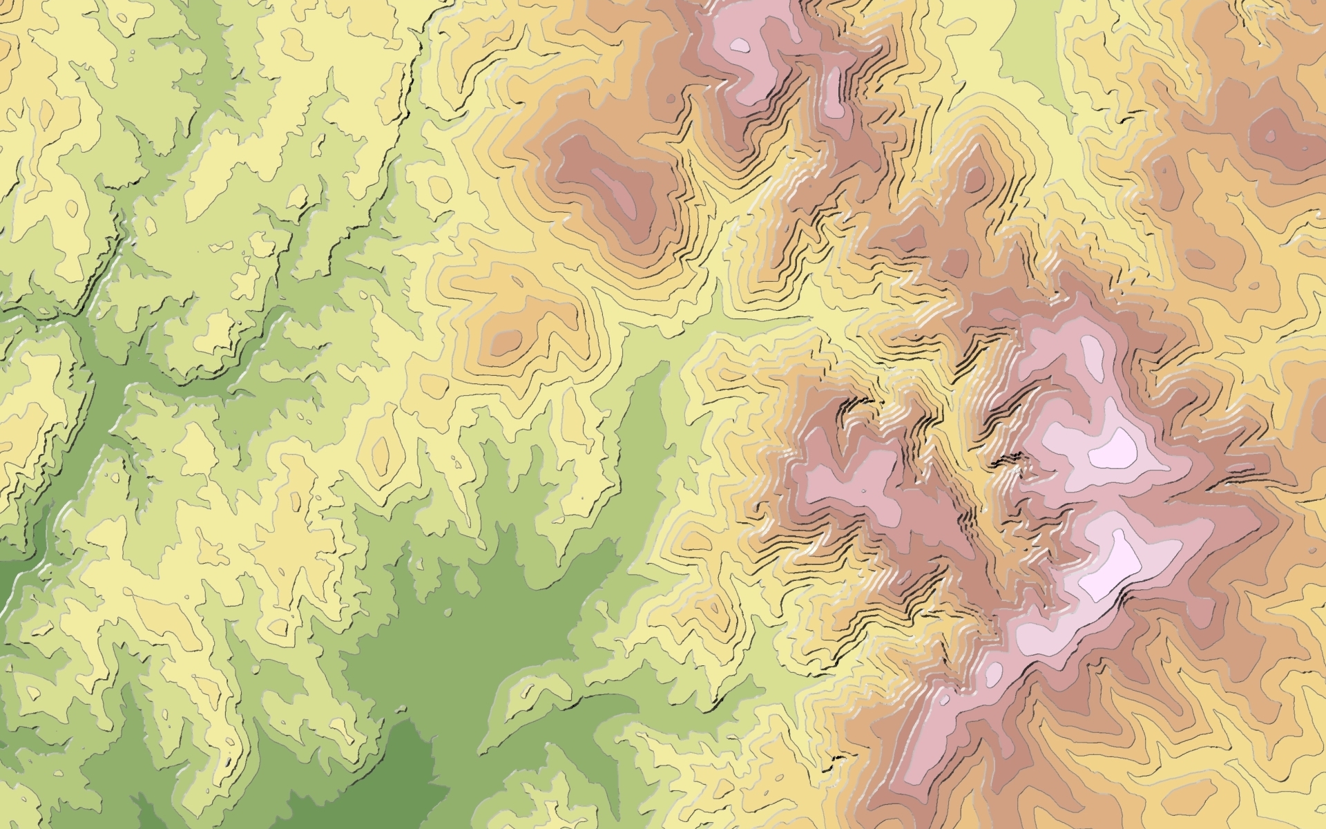
Eye-tracking experiment deals with comparison of the light direction 337,5° (NNW) and 315° (NW) and effect of inverse relief with setting light direction 135° (SE). Furthermore, there is compared various types of maps from map portals including shading with maps without shading. In the last part of the experiment there is alternative methods of altimetry visualization tested.
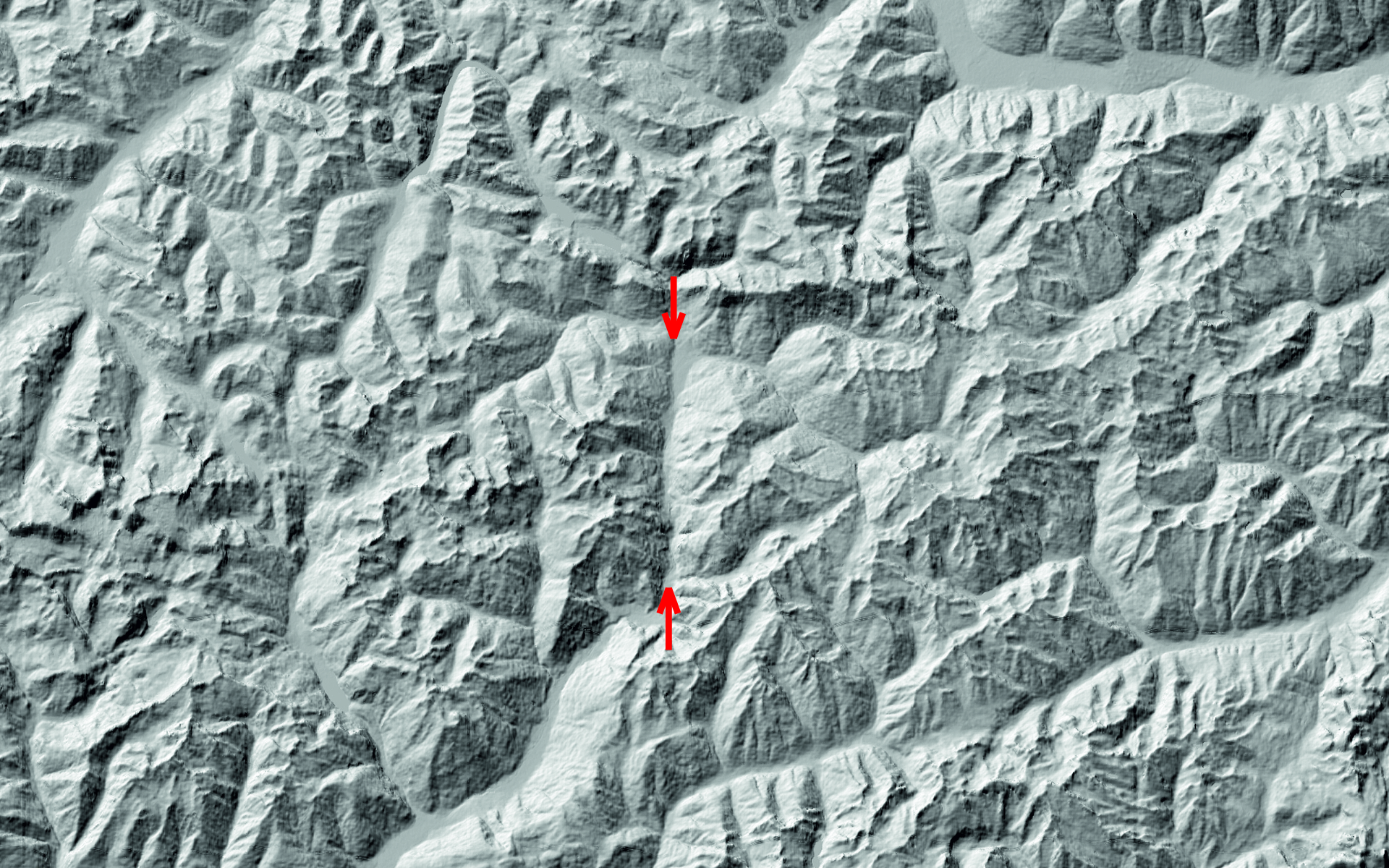
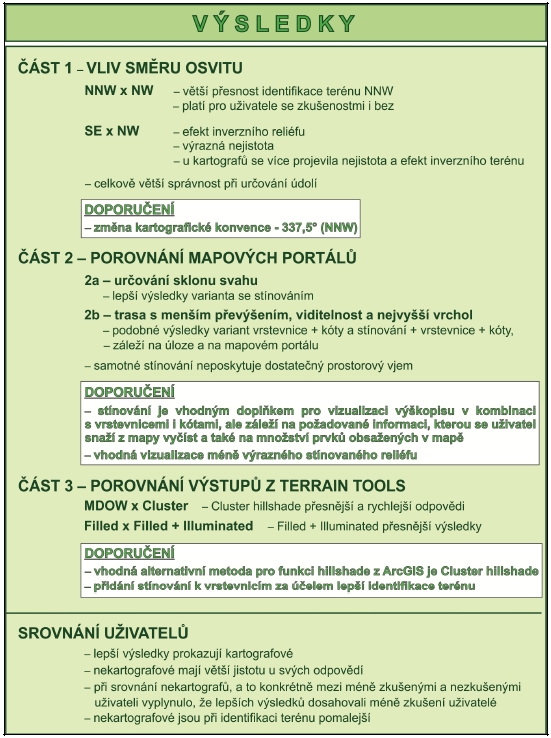
Part I – Influence of light direction:

Part II – Influence of shading in map portals:

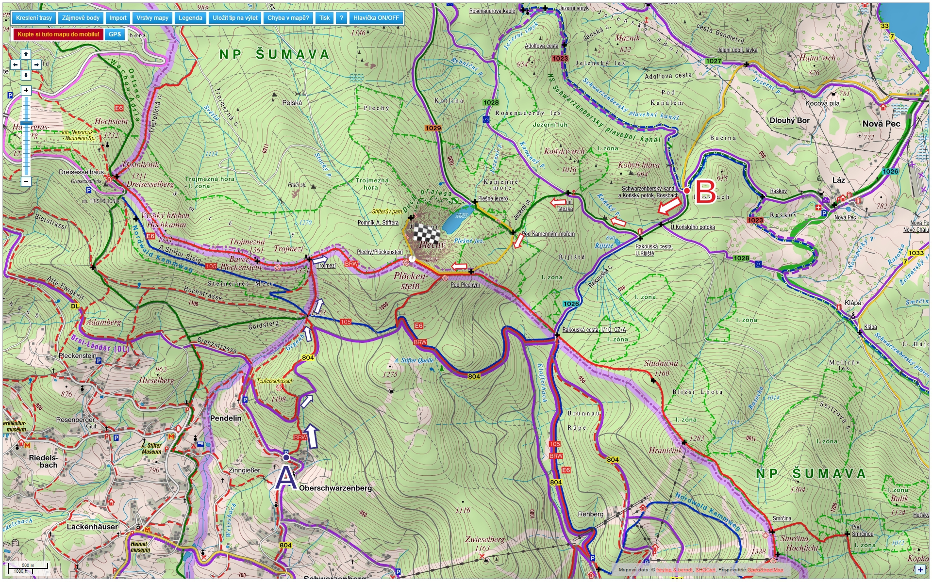


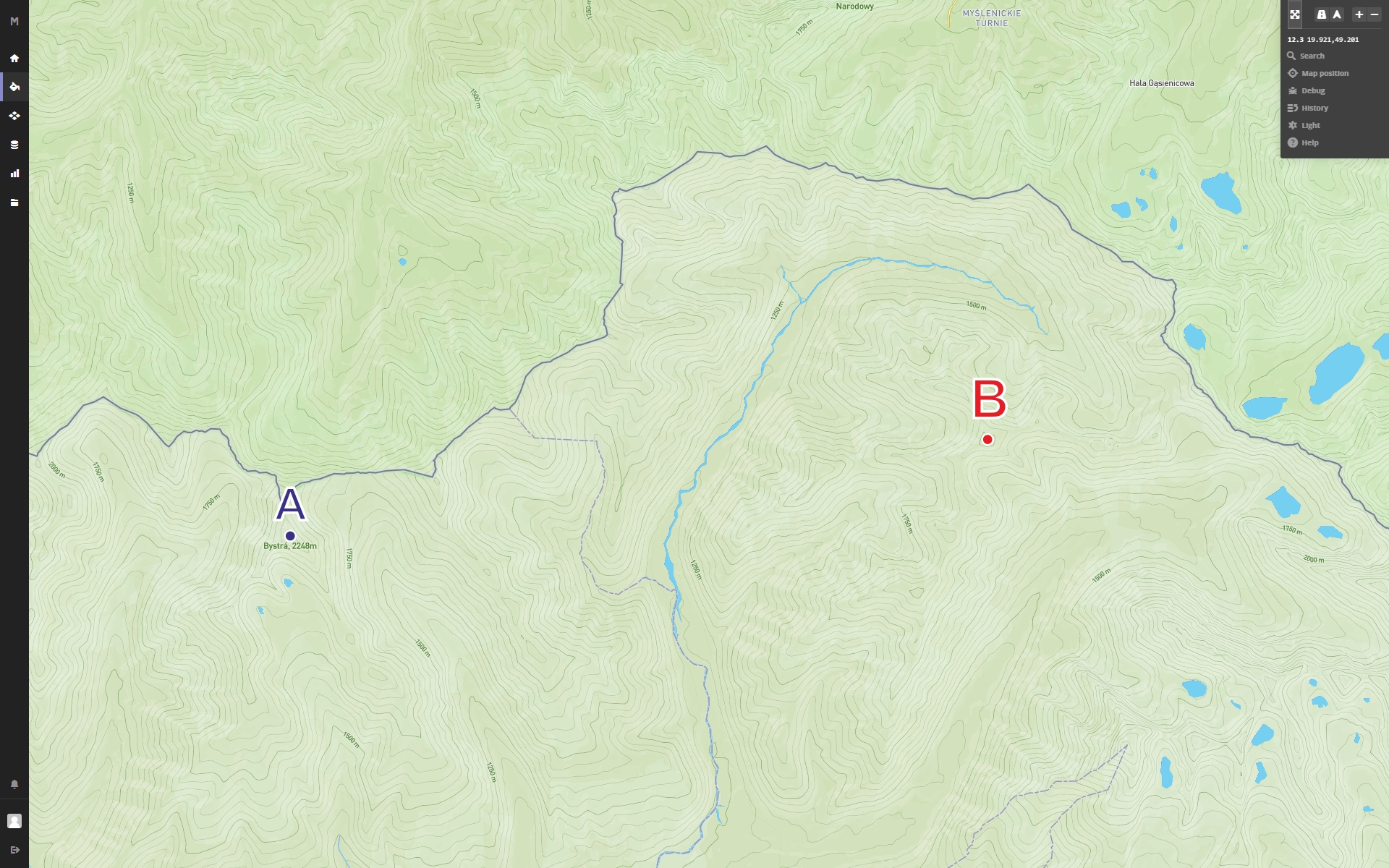

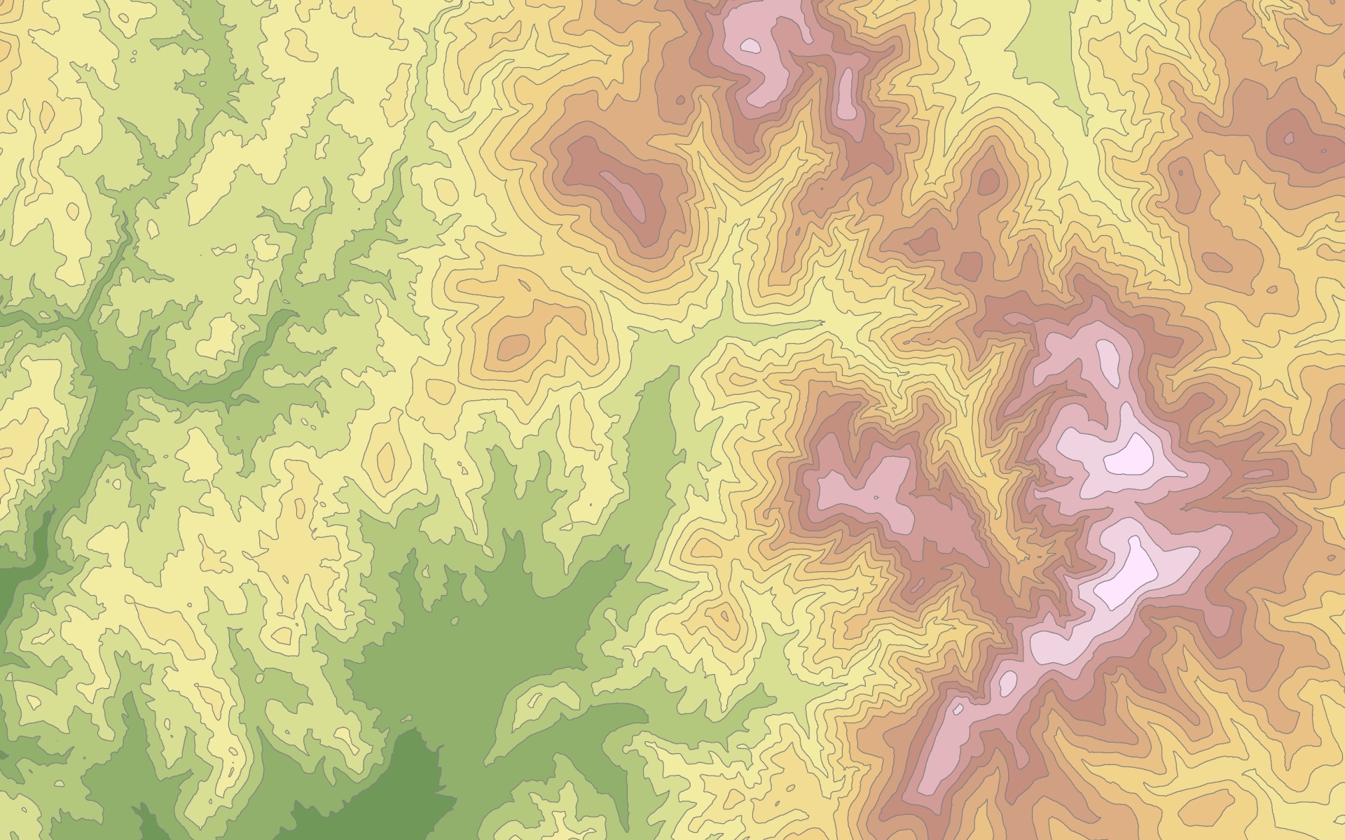
Part III – Alternative visualization of terrain:


Participants
Total of 40 respondents had participated within this eye-tracking study. Half of them were selected from the group of undergraduate students, who already attended cartography course. 10 respondents were selected from students of the first year of study of geoinformatics and the last 10 respondents were outside of the field of geoinformatics. All respondents performed the experiment twice (there were two variants of each stimuli)
Apparatus
For the study, remote eye-tracking device SMI RED 250, developed by SensoMotoric Instruments, was used. This device was operating at frequency of 250 Hz.
Analyses
Recorded data were analysed with the use of statistical testing and results were displayed mainly as graphs.
Conclusion
The result of bachelor´s work is acknowledgement other studies about light direction 337,5 ° (NNW) which showed better results in the idetification of relief. Followed also evaluate the effect of inverse relief and its impact on the user reading a map. In eye-tracking testing is vertification of inverse relief and impact on the user map reading. Another result is determine the influence of shading on map cognition where shading is a suitable complement to the contours and dimensions to visualize the terrain. It depends on the information which the reader wants to get out of the map and also on the number of items in the map. Other finding is, that the shading alone is not enought to produce a sufficient idea of the terrain shape. When selecting a relief, as a representation of the surface, usage of less expressive shading is recommended. Finally, they were selected suitable alternative methods of shaded relief and terrain visualization. Bachelor´s work contains comprehensive view on the issue of the appropriateness in map shading.