
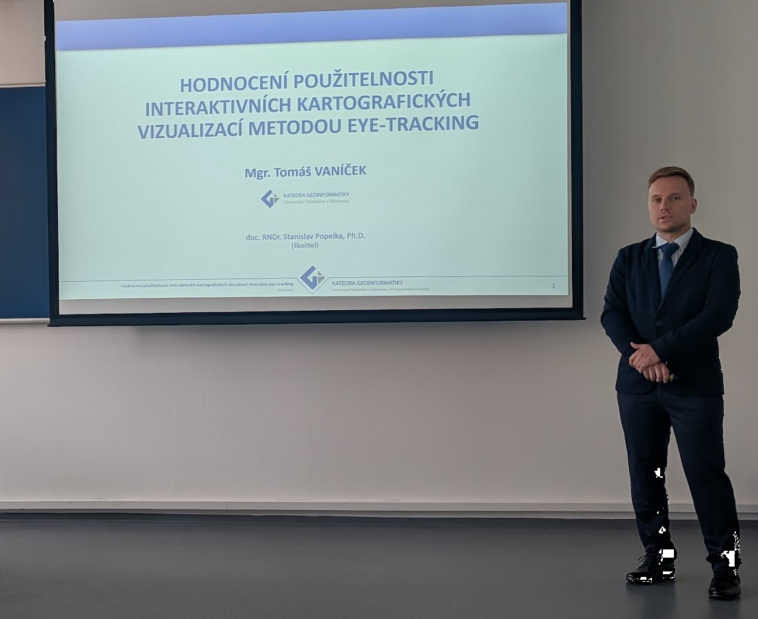
Today, Tomáš Vaníček successfully defended his doctoral dissertation and completed his PhD studies in Geoinformatics and Cartography at the Department of Geoinformatics, Palacký University Olomouc.
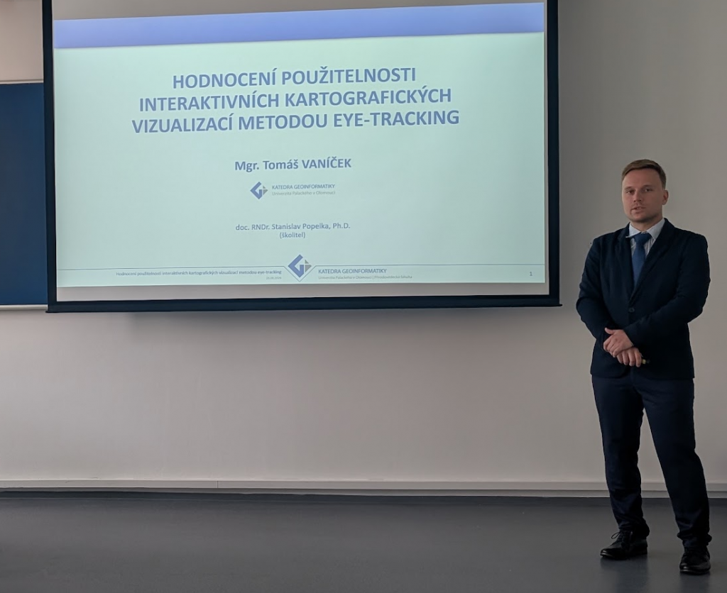
His dissertation, entitled Usability Evaluation of Interactive Cartographic Visualisations by Means of Eye-Tracking, focused on the methodological challenges of studying how people interact with dynamic and interactive maps. Unlike static maps, interactive cartographic visualisations continuously change as users zoom, pan, switch layers, select objects, or modify the displayed content. This makes the analysis and interpretation of eye-tracking data considerably more demanding.
The dissertation therefore examined how eye-tracking can be effectively combined with complementary methods, particularly interaction logging, task-performance measures, questionnaires, verbalisation methods, and qualitative inspection of recordings. The research progressed from a systematic review of existing studies and a synthesis of suitable methodological approaches to five empirical case studies covering different types of cartographic products, including interactive maps in data journalism, historical map comparison, static and interactive atlases, desktop and mobile map use, and interactive 3D geovisualisation.
A major outcome of the dissertation is an empirically grounded methodological framework for evaluating interactive cartographic visualisations, demonstrating how visual attention data can be integrated with behavioural, performance, and subjective measures to provide a more comprehensive understanding of map use.
During his doctoral studies, Tomáš also demonstrated strong research and publication activity and actively contributed to several research projects and the activities of the Department of Geoinformatics.
Congratulations, Tomáš, on successfully completing your PhD, and we wish you every success in your future research and professional career!